
November 14, 2026
Hereford High School
Team and Individual Qualfiers
https://www.athletic.net/CrossCountry/meet/274524/qualifiers
10:00-4A Boys
10:30-3A Boys
11:00-4A Girls
11:35-3A Girls
12:05-Awards
1:30-2A Boys
2:00-1A Boys
2:30-2A Girls
3:05-1A Girls
3:35-Awards
TOP 25 in all races receive medals
https://gofan.co/event/6730828?schoolId=MD9596
The Course
The State Meet course is run on the infamous Bull Run Course. The dip defines the course and it’s universally known throughout the running community. The course is certainly challenging, but it rewards toughness and durability. Depending upon one’s definition of a hill, there are at least eleven hills on the course-some more challenging than others. The second mile is by far the most challenging mile in the course with two steep, challenging hills. The second hill after the soccer field, which demarcates the half way point, is arguably the most challenging part of the course.
One is advised to commit to the race early on, but to be advised a faster than average first mile will result in a very long second mile. The final mile is actually a net downhill with a set of rolling hills on the back side of the course. This leads to the return to the dip.
One factor with racing this course in November versus September is that the weather is significantly different. One doesn’t need to contend with a scorching sun, but precipitation may not evaporate, which can lead to certain areas being slick, in particular the ninety degree turn leading to the return to the dip. Another nuance in the change of seasons is that one can see up the dip from a distance away, and one can also see the runners make their way to the dip following the second mile.
A full course preview is below.
2025 State Meet Videos
2024 State Meet Videos
2023 State Meet Videos
2022 State Meet Videos
Course Preview
Mile 1: 15 feet of total elevation gained
Mile 2: 30 feet of total elevation gained
Mile 3: -43 feet of elevation gained
Total Elevation on Course: 307 Feet
Course Map
This map is not perfect-particularly for the second mile. The map itself follows the course, but approaching the 2 mile, around 1.8, it is hard to follow the course. Thus, the zig zags at mile 2 are to reset to 2.0.
https://onthegomap.com/s/9lo49huu
1/4 Mile Mark
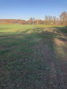
1/2 Mile
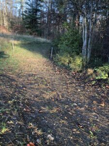
3/4 Mile (going up hill returning to baseball field
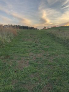
1 mile
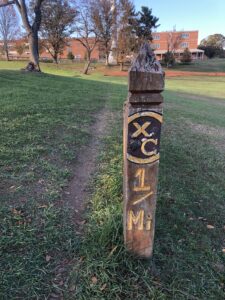
1 1/4
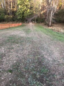
1 1/2
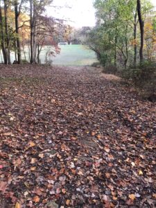
1 3/4 (leaving soccer field)
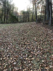
2 Mile Mark (Entering the soccer field)
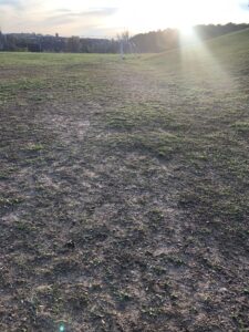
2 1/4 (section below soccer field; turning left takes you to dip)
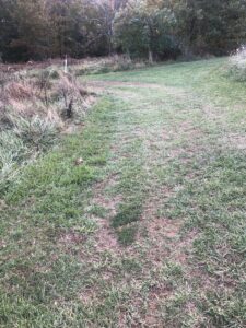
2 1/2 (going up dip)
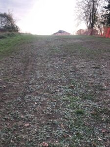
2 3/4 (near baseball field/dugout; following route from start of race)
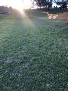
3 Mile/Finish