Course Elevation
Mile 1: Â 15 feet of total elevation gained
Mile 2: Â 30 feet of total elevation gained
Mile 3: Â -43 feet of elevation gained
Total Elevation on Course: Â 307 Feet
Course Map
This map is not perfect-particularly for the second mile. Â The map itself follows the course, but approaching the 2 mile, around 1.8, it is hard to follow the course. Â Thus, the zig zags at mile 2 are to reset to 2.0.
https://onthegomap.com/s/9lo49huu
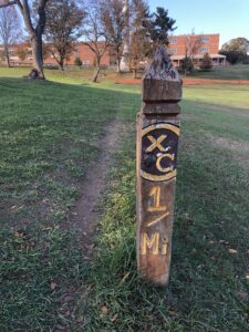
1/4 Mile Markers
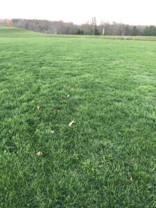
1/4 Mile Mark
1/2 Mile
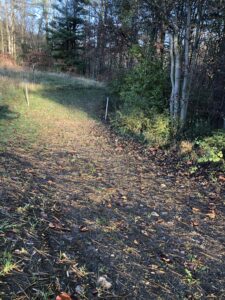
3/4 Mile (going up hill returning to baseball field
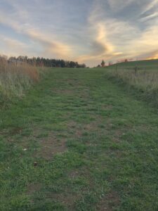
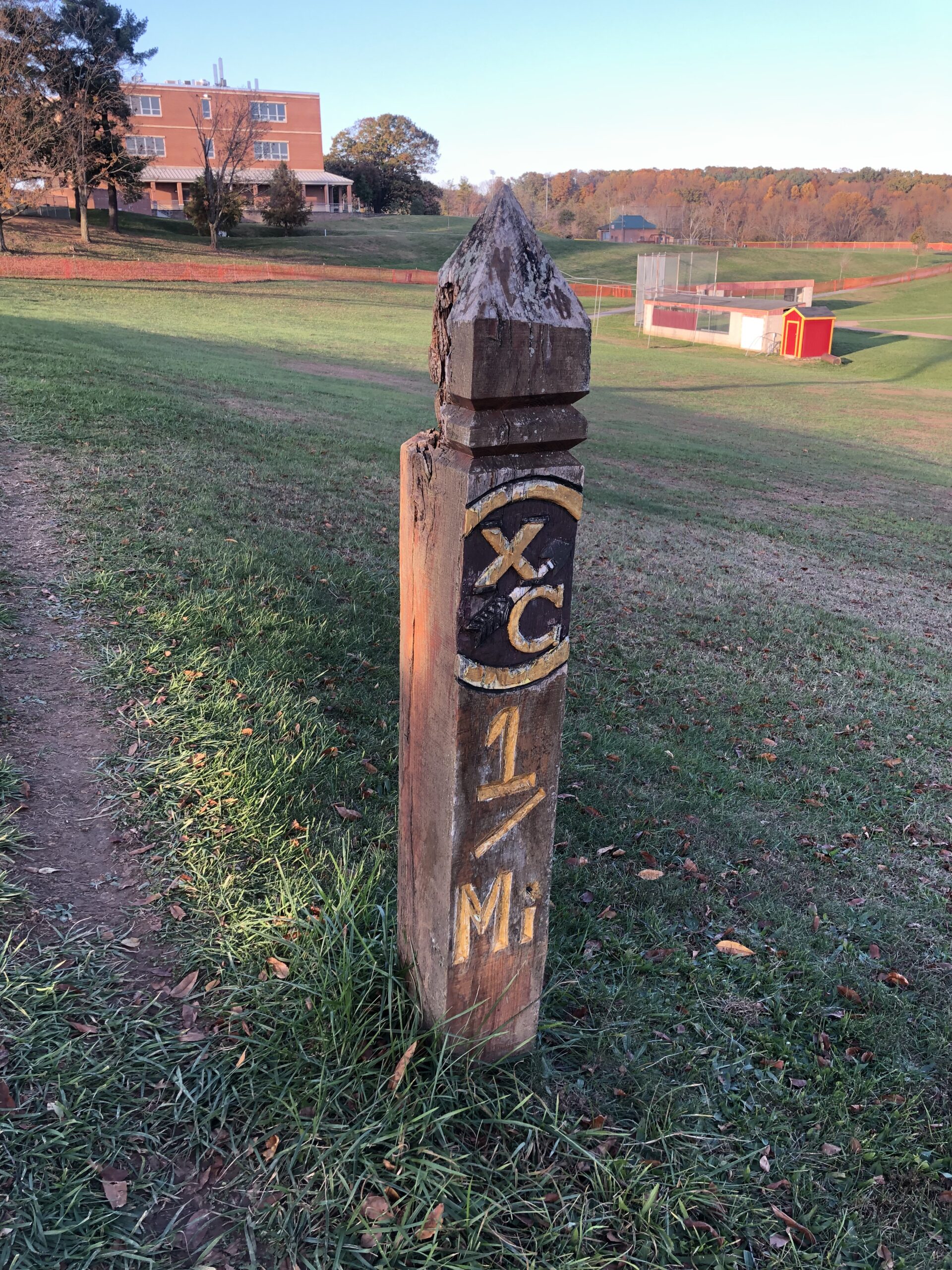
1 mile
1 1/4
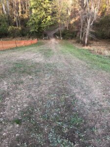
1 1/2
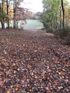
1 3/4 (leaving soccer field)
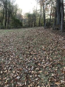
2 Mile Mark (Entering the soccer field)
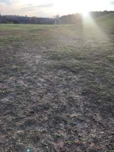
2 1/4 (section below soccer field; turning left takes you to dip)
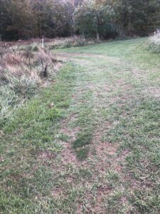
2 1/2 (going up dip)
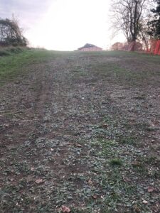
2 3/4 (near baseball field/dugout; following route from start of race)
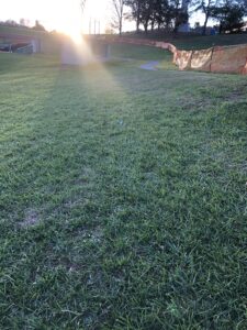
3 Mile/Finish
Course Preview Videos
Mile 1
Mile 2
Mile 3
Old Skool Bull Runs
2021 (video is available-just click on it)
Old Skool State meet Videos
2008
https://www.youtube.com/playlist?list=PLqrXWWxYp6ua-DN_I7i82KAd4M4AMMS6R